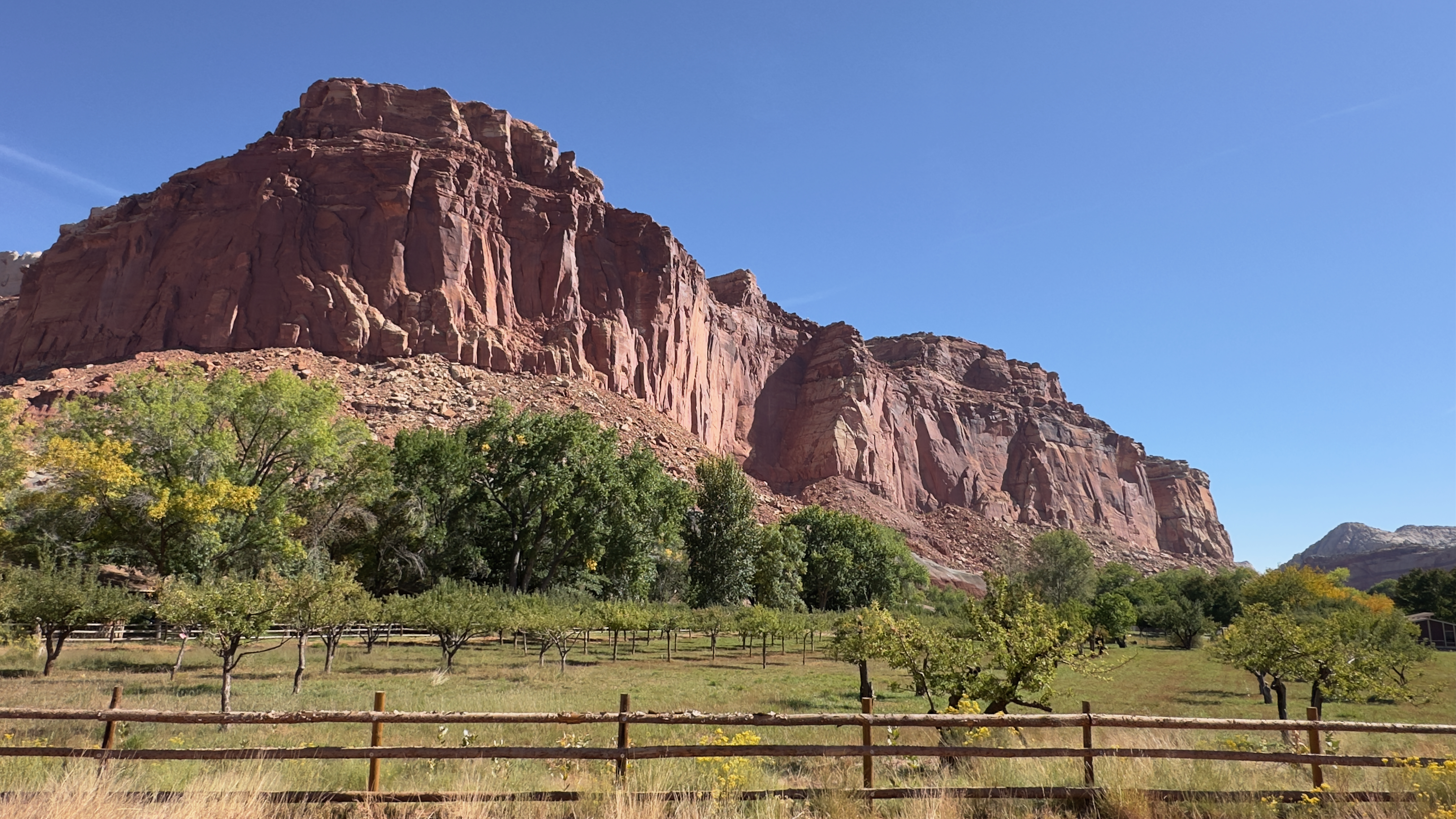
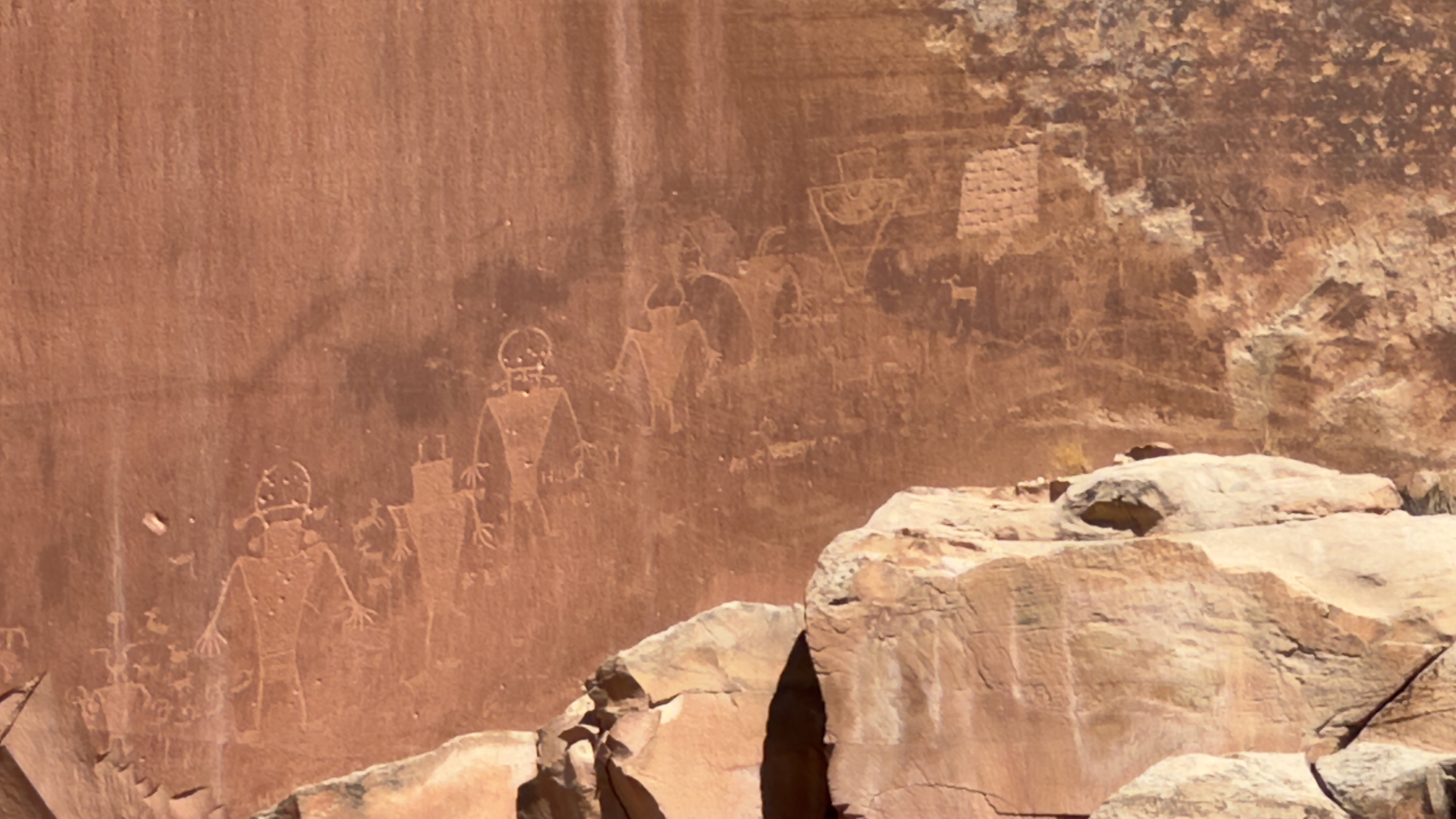
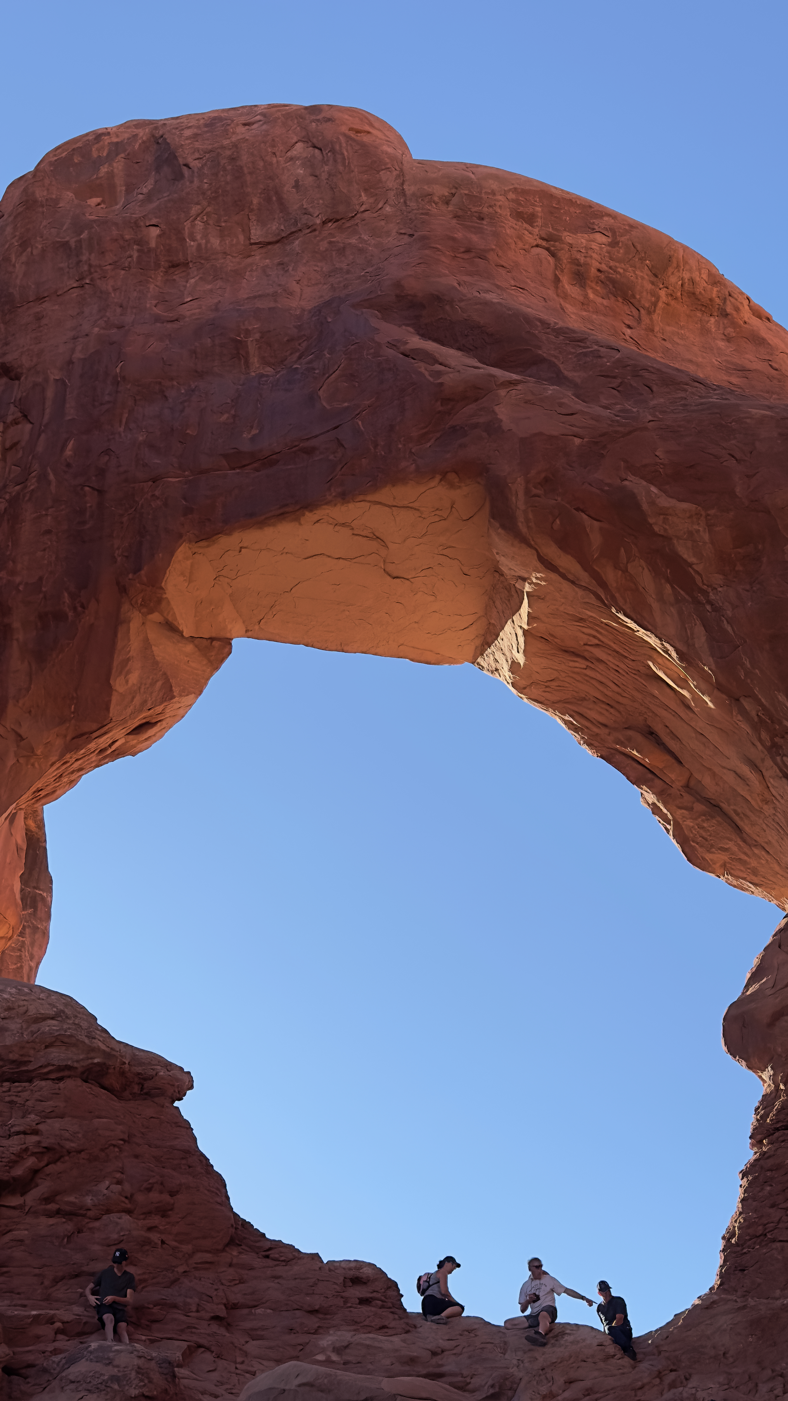
Moab is an outdoor enthusiast's dream. As we drove through town after leaving the hotel, there were climbers, bikers, dune buggies, and 4-wheel drive vehicles galore headed out to experience nature. The town has apparently become somewhat of a Western "resort town" with many of the populations having second homes here (primary homes elsewhere, mainly to the west). Wanting to go out into nature ourselves, we took the scenic highway 279 which runs alongside the Colorado River. Towering sandstone cliffs called "Wall Street" soon met us where we found ancient petroglyphs along with modern-day climbers about to ascend some of the less steep sections. According to archaeologists, most of the rock art found here was created during the Archaic (6,000 - 1,000 B.C.) and Fremont (450-1300 A.D.) cultural periods.
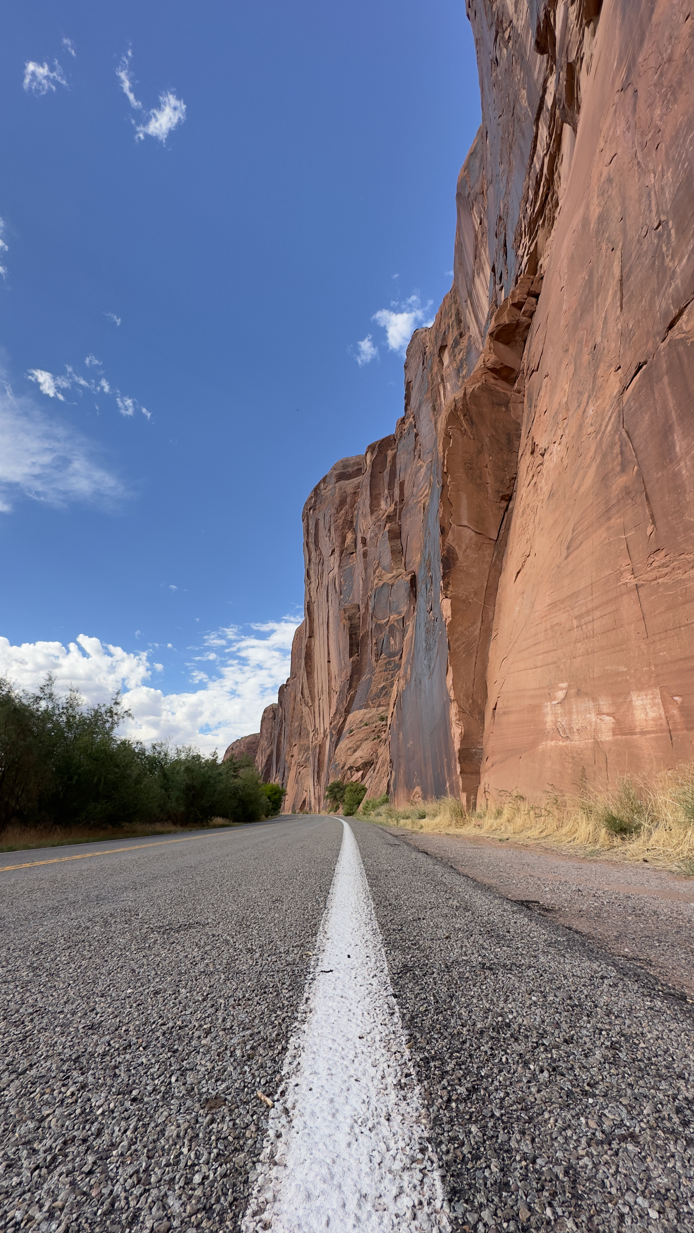


We then headed further south along the Colorado taking in the sights of it meandering through these red canyons, and even came across Jug Handle Arch. A potash plant/mine is located at the end of the pavement so we turned around and headed back north to continue our journey.


Highway 279 continues past Moab along the Colorado River and just outside Arches National Park. The road was curvy and lined with very close red rocks, some of which would fall on occasion. Fortunately none hit us. Eventually the canyon walls lowered and the road straightened out as we re-entered the Utah desert. Just as we were about to intersect Interstate 70, we turned off to drive through Cisco. Founded in the 1880s the "town" sits near the Colorado border on a plain below the Book Cliffs and had been a railroad fill station. Like so many once-bustling towns in the West, it shriveled when the interstates came through and was officially abandoned by the 1990s. A young artist named Eileen Muza purchased Cisco in 2015 and has lived there ever-since. She has used salvaged and on-site materials to transform it into an artistic space. Cisco now contains a welcome mural, designed by Muza and an artist friend; a renovated shed available to rent on Airbnb; a skatepark and snake sculpture wending through an abandoned bus; and a Winnebago and truck transformed into a residency where artists can work on their craft.


After a quick lunch in Fruita, Colorado, which has a surprisingly cool and bustling little downtown area, we headed up Rimrock Drive into the Colorado National Monument. Sadly no bighorn sheep appeared, but we did get great views of the valley below (including Grand Junction), Monument Canyon, and both the Book Cliffs and Grand Mesa in the distance. Near the end of the drive were the Coke Ovens, named because the rounded shape resembles beehive coke ovens that were used in the nineteenth century to convert bituminous coal into coke, which was then used for smelting iron.


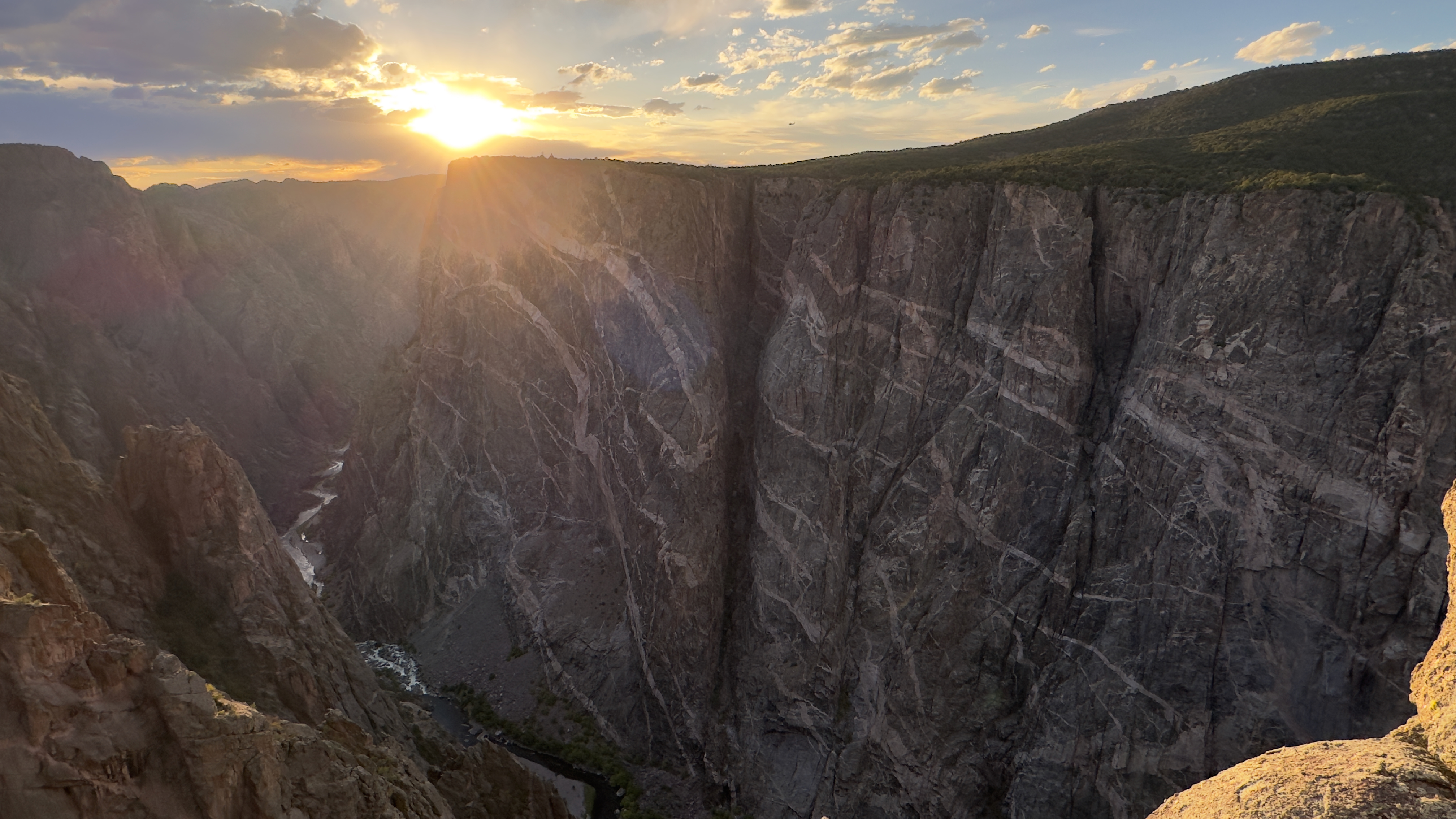
Wanting to make the Black Canyon of the Gunnison National Park in time for sunset, we hustled down US Highway 50 turning east at Montrose. The canyon earned its name due to the fact that parts of the gorge only receive 33 minutes of sunlight a day. In fact, author Duane Vandenbusche states, "Several canyons of the American West are longer and some are deeper, but none combines the depth, sheerness, narrowness, darkness, and dread of the Black Canyon." We stayed on the south rim and drove the 7-mile long Rim Road. The wind whipped through the canyon while we were there making each overlook an adventure in taking photos with a strong wind pushing you back. The canyon is indeed dark, sharp, and deep. A very rugged landscape all around. While at one of the overlooks we heard a helicopter approaching and then a police siren. The helicopter eventually descended into the canyon and the siren stopped. As sunset approached, the helicopter appeared again as it lifted up and out of the canyon. Hopefully no one was injured, but a strange sight indeed. The sunset had great potential, but really never blossomed. It was pretty, but not stunning.




We found a wonderful restaurant in Montrose, The Stone House, and with full stomachs we headed south to Ouray, our stop for the night.