We have had the perfect weather so far on this trip: cool in the morning and then warm (if not a little hot) in the afternoon. Today was no exception as we found an excellent coffee shop for some go juice and pastries. At the entrance gate for Zion National Park, we were met with quite long lines full of folks ready to get their adventures going.
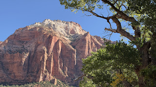
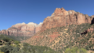
Our original plans had us using the park’s shuttle system (a requirement right now), but having arrived late yesterday, we skipped today. Instead, we headed north to the Zion-Mount Carmel Highway, past the Watchman formation, and were soon headed east. This highway provides a variety of pull-outs as the road winds up and out of the canyon. The sunlight was coming in perfectly and we were able to get some great views of the canyon walls as we headed towards the park’s tunnel.
Coming out the east side of the park, we took advantage of the various pullouts and were soon at the Checkerboard Mesa, a sandstone formation with horizontal lines caused by crossbedding. The vertical lines were formed by the contraction and expansion of the sandstone caused by temperature changes, freezing and thawing cycles, in combination with wetting and drying.
Lunchtime was upon us and we soon came to the Thunderbird Restaurant in Mt. Carmel Junction, but unfortunately it was closed. No “Ho-Made Pies” for us today. Instead, further up the road we found a great little restaurant on a farm where we enjoyed pizzaninis (think pizza paninis).
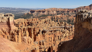
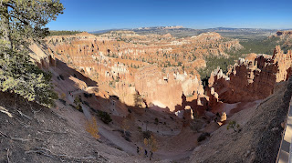
Next up was Bryce Canyon National Park, one of my favorites! Bryce is celebrating its 100th birthday this year and the visitor’s center was hosting members of the Cedar Band of Southern Paiutes who performed Northern traditional and jingle dances. We headed south down the scenic drive and were soon viewing the hoodoos from the viewpoints in the Bryce Canyon Amphitheater. Bryce is known for its hoodoos: tall, thin spires of rock formed by erosion. Hoodoos typically consist of relatively soft rock topped by harder, less easily eroded stone that protects each column from the elements.
The park’s elevation starts at about 7,900 feet and as we went further south, stopping at various viewpoints, we continued to climb. At around 8,900 feet, we spotted an amazing patch of aspens glowing yellow mixed among pines on a hillside a bit off the road. They were stunning.
Our next stop was Ponderosa Canyon. This spot holds a special place for me as it’s where Jason and I captured one of my favorite photographs way back in January 2012. As we approached the viewpoint, we saw remnants of a very large forest fire and I was concerned that the tree featured so prominently in my photo may have been burned. Fortunately, and happily, it’s still there and doing well!
The scenic drive stops at Rainbow Point, located at 9,115 feet. From here we could look back north on the park and to the southeast, out onto the Grand Staircase-Escalante National Monument.
We headed back north and stopped when we came across a small grove of aspens which had fully turned yellow. Their leaves quacked with the wind coming up from the valley below and the blue sky background contrasted beautifully. It was a fantastic way to end the visit to Bryce.
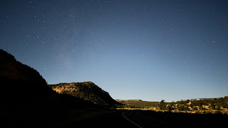
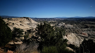
After dinner in Tropic, we got back in the car and headed up scenic Utah Highway 12. A nearly full moon was out and while we couldn’t see all the scenery, it afforded some great night-time shots!
We arrived very late and have a full day tomorrow as we continue our trek east to Capitol Reef and Arches.


